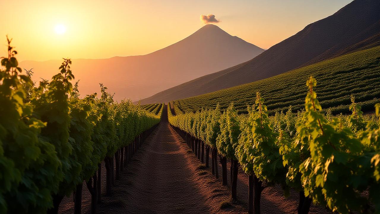
AI for the Volcanic Soils of Etna and Beyond
In the fierce southern sun, resilience is everything. Agrotech Intelligence provides the specialized predictive models required to protect Italy's most vulnerable terroirs from rapid climate shifts.
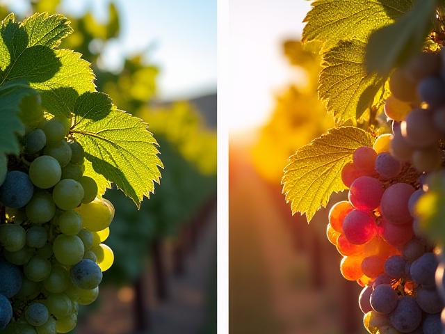
Proactive Disease Monitoring with Drone Sensors
Our advanced drone fleet, equipped with multispectral sensors, traverses the Etna DOC and southern landscapes to capture biological signatures invisible to the naked eye. By analyzing light reflectance patterns, Agrotech Intelligence algorithms identify early physiological stress, pinpointing *Peronospora* (downy mildew) up to five days before lesions appear.
The resulting 'hotspot' maps allow for variable-rate applications, focusing treatment only where needed and preserving the integrity of Sicilian soil from unnecessary chemical load.
Learn More
Predicting and Mitigating Heatwave Impact
Southern Italy faces increasingly erratic heat pulses that can lead to vine shutdown and berry sunburn. Agrotech Intelligence integrates hyper-local climate sensors with grape-specific metabolic data to forecast impact trajectories down to individual vineyard blocks.
Receive 72-hour early warnings to initiate preventative strategies—such as specific kaolin clay applications or targeted nocturnal irrigation cycles—ensuring photosynthesis remains uninterrupted during peak thermal stress.
Protect Your VineyardSoil Erosion Mapping for Hillside Farms
Precious topsoil is the currency of heritage viticulture. On the terraced slopes of Etna and southern hillside sites, sudden extreme rainfall triggers severe erosion. Our 3D topographic AI models simulate storm run-off patterns, identifying high-risk failure points in 'muretti a secco' (dry-stone walls) before they collapse.

Voices from the Field
"Agrotech Intelligence predicted our heatwave exactly. We saved the Nero d'Avola harvest from certain sunburn."
"The erosion mapping identified a weak section in our terrace walls we hadn't noticed. It would have cost us ten vines this winter without that data."
Why did we choose Agrotech Intelligence? Because they understand that technology only matters if it honors the tradition of our land.
Ready to safeguard your legacy?
Join the network of Southern Italian growers securing their future with predictive viticulture.
Learn More